
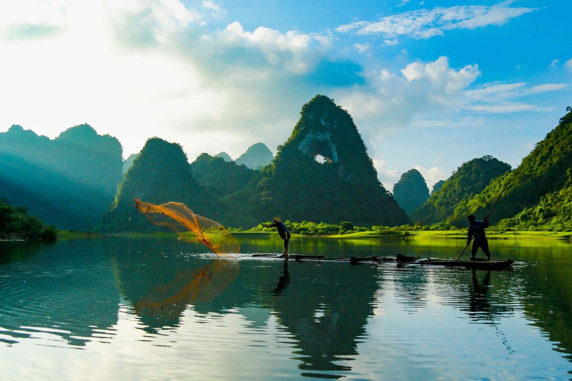
Ha Giang is Vietnam's northernmost province, on the border with China. The Dong Van Karst Plateau, a UNESCO Global Geopark, rises in grey limestone peaks cut by deep valleys, and roads wind over passes such as Ma Pi Leng above the Nho Que River.
H'mong, Lo Lo, Dao and other communities live in the villages along the way, and the best way to see it all is the Ha Giang Loop by motorbike, riding yourself or with an easy rider.
أفضل وقت للزيارة
October–November for buckwheat flowers and dry roads; March–May is mild and green. July–August is the rainy season, and winters are cold on the plateau.
كيف يبدو المكان
- Riding switchback passes above deep canyons
- Cold mornings and markets on the karst plateau
- Nights in village homestays
نصيحة من أهل المكان
Foreign visitors pay a local procedure fee for the border area. Bring warm layers in any season: the plateau gets cold at night.
جولات في Ha Giang
لديك أسئلة؟ نرد خلال دقائق.
أرسل لنا رسالة أو تواصل معنا مباشرة. سيرد عليك مخطط رحلات محلي.
أو تواصل معنا مباشرة